
[ad_1]
The monsoon is picking up pace again, and this time two weather systems are helping drive the revival.
A low-pressure area formed over southwest Uttar Pradesh and adjoining areas on Friday, August 7.
The following day, another low-pressure area developed over south Gangetic West Bengal and adjoining north Odisha.
Working in tandem, the systems are expected to keep large parts of India wet over the coming days.
Low-pressure areas can pull moisture into the atmosphere and trigger widespread rain as they move across the country.
WHAT WILL THE WEATHER SYSTEMS DO?
The second system is expected to move west-northwestwards from West Bengal and Odisha towards Jharkhand and north Chhattisgarh by Monday, August 10.
As it moves, it will carry along moisture further inland and spread the rain beyond its area of origin.
The latest IMD forecast points to a prolonged wet spell, with widespread rain expected across the Andaman and Nicobar Islands, Gangetic West Bengal, Jharkhand, Odisha, and Sub-Himalayan West Bengal and Sikkim through August 14.
Bihar is also likely to see widespread rain towards the end of the period.
WHERE WILL IT RAIN THE MOST?
The heaviest rain is likely in parts of eastern India.
Jharkhand could see heavy rain through August 10, while Odisha is expected to see intense spells on August 8-9 and again from August 12-14.
Gangetic West Bengal, Sub-Himalayan West Bengal and Sikkim, and Bihar are also likely to see periods of heavy rain
The rain will also spread into central India, with widespread showers expected across eastern Madhya Pradesh and Chhattisgarh during parts of August 8-14 and western Madhya Pradesh through August 12. Some areas could see very heavy rain.
Some areas could also receive very heavy rain.
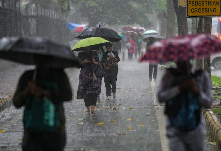
The monsoon surge will also reach northern and southern India. Delhi, Haryana and Punjab are expected to see widespread rain on August 8.
Meanwhile, eastern Rajasthan and parts of Himachal Pradesh could see heavy to very heavy spells.
In the south, coastal Karnataka, Kerala, Mahe and Lakshadweep are likely to remain wet through August 14, with heavy rain possible over parts of Karnataka and Kerala.
NOT JUST TWIN SYSTEMS
But the renewed monsoon activity is unfolding against a bigger climate backdrop.
A positive Indian Ocean Dipole (IOD) is emerging as El Nino strengthens over the central and eastern Pacific.
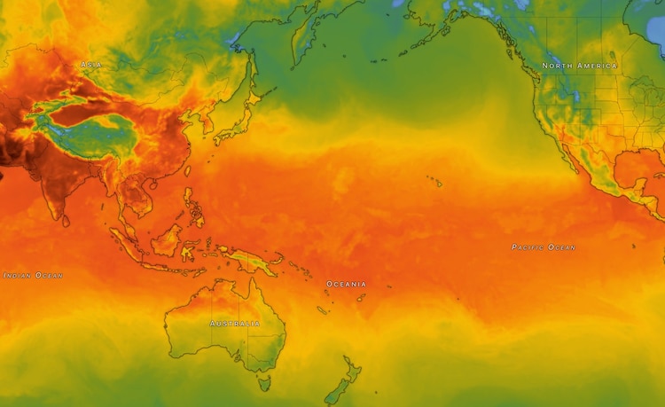
The IOD involves a difference in sea-surface temperatures between the western and eastern Indian Ocean, while El Nino is driven by unusual warming in the central and eastern Pacific.
Both can influence atmospheric circulation and rainfall patterns far beyond where they form.
With both systems now in place, the monsoon has another push behind it.
The coming week is therefore likely to remain wet across large parts of India, although where the heaviest rain falls will depend on how the systems move and evolve.
– Ends
[ad_2]
Source link